Photogrammetry
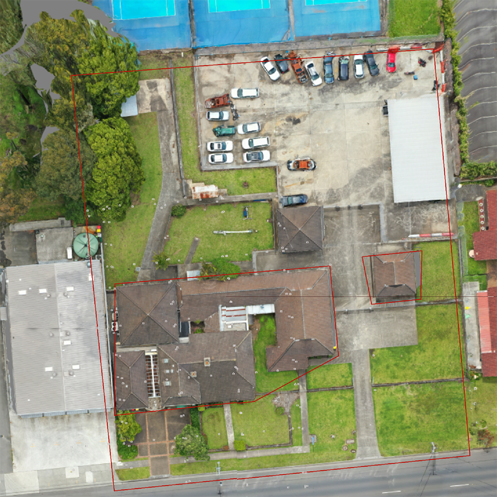
Photogrammetry is used to determine the underlying geometric principles of landforms and objects through photographic imagery. By taking two or more photos in different positions, we can obtain accurate 3D coordinates through precise triangulation. This service provides the accuracy of GPS control with the power of aerial photography.
SAI has extensive experience capturing photogrammetric data and delivering it in easy to use reports with calculations and recommendations.


3D modelling
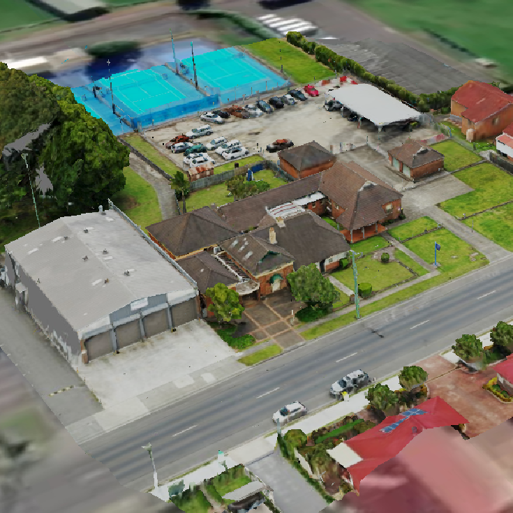
Advanced 3D models are a great way to visualize property and other assets. While useful, oblique images from drones often need to be rendered into useful 3D content. Along with our 3D mapping services, advanced modelling software allows us to create realistic 3D models and inspiring fly-through videos.
LiDAR Laser Surveying
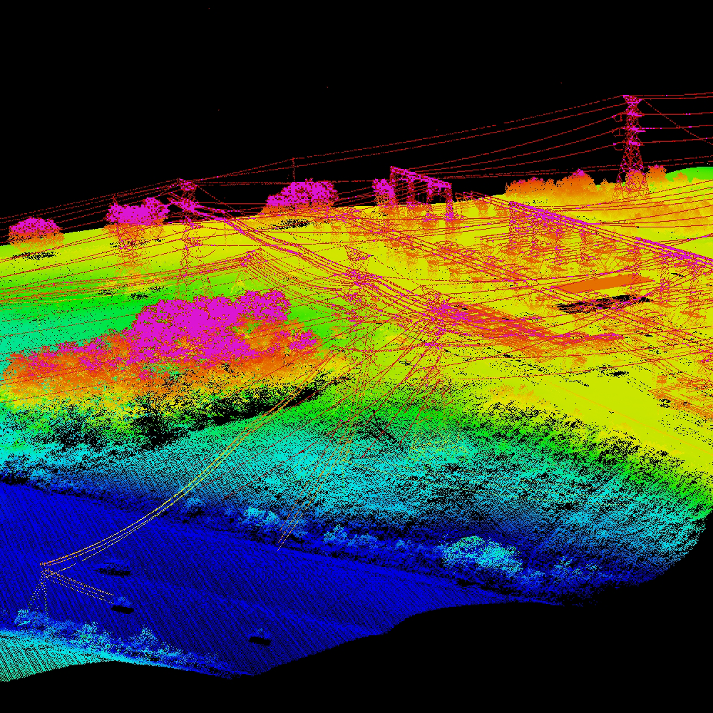
Also known as laser scanning, this technology provides extremely precise control and visualization through dense point clouds.
Our use of Drone with LiDAR enables highly accurate terrestrial surveying, land surveying, and topographical mapping among other services. Ideal for easement assessments or land surveying, laser scanning is the fastest and most affordable way to survey difficult terrain. We can deliver terrain data in a number of practical formats, including LAS/LAZ laser point clouds, 3D models, DXF/DWG vector files, ground contours, TIN, etc.


Drone Inspection
We offer flare tip inspections, easement inspections, and subsidence monitoring among many other services. All of our inspections and reporting solutions are tailored to specific locations and industry sectors, with our qualified team able to capture data in hazardous facilities and high-risk environments. Whether it involves local operations, national services, or delivery across wide global networks, SAI has the experience in delivering virtually any drone-data project.

