on the services Land Development we offer
Below ground. Above ground. See everything clearly.
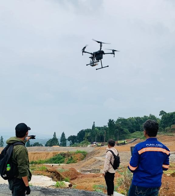
Many utilities are inaccurately mapped, if at all. But with clear, easy-to-read spatial information, 3D models and visualisations, you’ll know with precision and certainty where the hazards lie. Combined with our above-ground surveying, LiDAR and mapping solutions – including aerial laser scanning for overhead utility risks – you’ll have all the timely, value-adding insights you need to keep your people safe and your project on track.
The best in the field. On the field.
We are the specialists in locating and visualising subsurface assets with pinpoint accuracy.
Ground penetrating radar (GPR). Electro magnetic locating (EML). Vacuum excavation (pothole) systems. All informing 3D models, compatible with most GIS and CAD suites, making it easy for you to identify and communicate the location of utilities.
Passionate - Dedicated - Professional