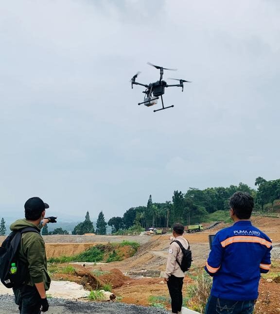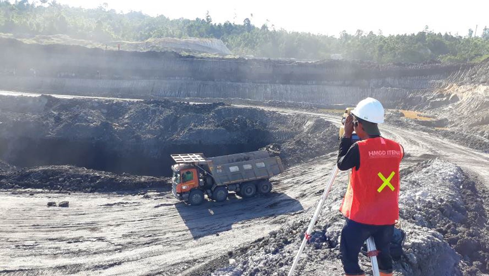
on the services Land Development we offer
Seamless expertise. Seamless infrastructure projects.
Our laser scanning, surveying and modelling tech is market-leading, but it isn’t enough to have the best technology. To extract maximum value from it – and your civil construction or infrastructure project – you need to interpret and add value to the geospatial data and imagery in front of you. That’s where our team’s technical acumen and experience comes in, ensuring you can plan and manage your project as efficiently as possible from day one.
We’ve supported practically every major project across Indonesia in recent years
From road and rail infrastructure to ports and airport upgrades and subsurface utilities.
As such, we have strong relationships with local and state authorities – who rely on our expertise from concept and pre-construction – as well as a fleet of aerial and ground-based tech, right across the country.
Passionate - Dedicated - Professional


