on the services Land Development we offer
Minimising timeframes, costs and uncertainty.
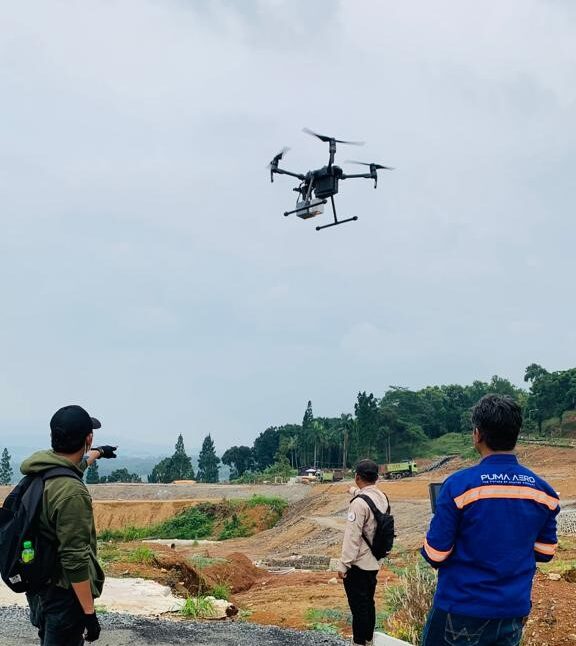
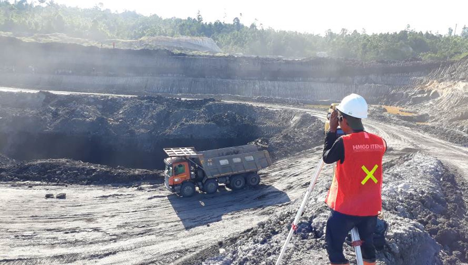
You’ll find our environmental surveying and modelling specialists using our cutting-edge aerial LiDAR and surveying tech across Indonesia. We’re used to deploying rapidly and cost effectively, working with subject matter experts – from data analysts to hydrologists – to empower our clients. We’ll give you whatever environmental insights and specifications you need, whenever and wherever you need us.
Forestry and urban flora.
Our capability in forestry and urban flora monitoring and management is equally impressive.
We apply our aerial laser scanning and surveying expertise to everything from forest mapping in remote and regional areas to urban-forest and green-area management, right down to providing vital NDVI, foliage health and species identification data.
Passionate - Dedicated - Professional


